
Accessories available for this product
-
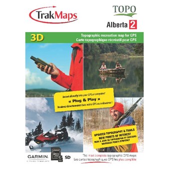
 TrakMaps
Topo Alberta - SD/MicroSD: Garmin
$69.99
Accessories available
View accessories
TrakMaps
Topo Alberta - SD/MicroSD: Garmin
$69.99
Accessories available
View accessories
For Garmin units only
- Complete coverage of Alberta at 1:20,000

- 3D digital elevation model
- Routable road network
- 58,000+ km of routable forestry roads and truck trails
- 931,000+ km of trails
- Oil and gas roads
- Pipelines and facilities
- National, provincial, municipal parks
- Fish and Wildlife Districts
- Forest Reserves
- Crown Lands
- Ecological Reserves
- Heritage Rangeland
- Indian Reservations
- Metis Settlements
- Buildings, pylons, electric lines, bridges, dams, railroads, other reference points and landmarks
- Topographic data including mountains, hills, valleys, lakes, rivers, streams, wetlands, forest zones
- Detailed shorelines of all lakes and rivers, rock locations
- Cellular towers
- Launch ramps and marinas
- Campsites and picnic areas
- 6,000+ POIs including gas stations, lodging, restaurants and ATMs
Compatible with these products
-
TrakMaps
Topo Alberta - SD/MicroSD: Garmin
$69.99
Accessories available
View accessories
-
 Garmin
Rino® 700 2 Watts FRS/GMRS Canadian Version
$469.99
Accessories available
View accessories
Garmin
Rino® 700 2 Watts FRS/GMRS Canadian Version
$469.99
Accessories available
View accessories
-
 Garmin
eTrex® 22x
$279.99
Accessories available
View accessories
Garmin
eTrex® 22x
$279.99
Accessories available
View accessories
-
 Garmin
eTrex® 32x
$399.99
Accessories available
View accessories
Garmin
eTrex® 32x
$399.99
Accessories available
View accessories
-
 Garmin
Montana® 750i
$1079.99
Accessories available
View accessories
Garmin
Montana® 750i
$1079.99
Accessories available
View accessories
-
 Garmin
GPSMAP 65
$469.99
Accessories available
View accessories
Garmin
GPSMAP 65
$469.99
Accessories available
View accessories
-
 Garmin
GPSMAP 65s
$539.99
Accessories available
View accessories
Garmin
GPSMAP 65s
$539.99
Accessories available
View accessories