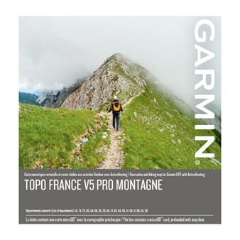
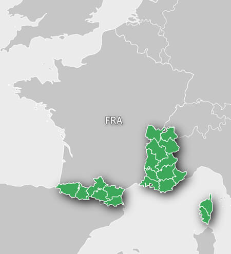
Always find the right tracks from your alpine adventure in the Alps and Pyrenees regions of France as well as in Corse. This ultimate map for outdoor recreation includes address search, points of interest (POIs), named trails and Active Routing¹.
- Includes enhanced recreation trail network, featuring detailed recreational trails, locally recognized, such as GR, GRP and PR
- Provides accurate topographic raster maps in 1:25,000 scale for the region of coverage
- Includes searchable geographic names and business POIs, as well as searchable street addresses
- Features a detailed Digital Elevation Model (DEM) with height contour up to 10m intervals
- Provides numerous refuges and other lodging facilities from Gites d`Etape and Refuge
¹ActiveRouting supported by BaseCamp on Windows®/Mac® and Montana®, GPSMAP® 62, 78, Edge® 810, and Oregon® x50, 6x0 devices.
Compatible with these products
-
Garmin eTrex® 22x $279.99 Accessories available View accessories
-
Garmin eTrex® 32x $399.99 Accessories available View accessories
-
Garmin Montana® 750i $1079.99 Accessories available View accessories
-
Garmin GPSMAP 65 $469.99 Accessories available View accessories
-
Garmin GPSMAP 65s $539.99 Accessories available View accessories


